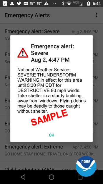
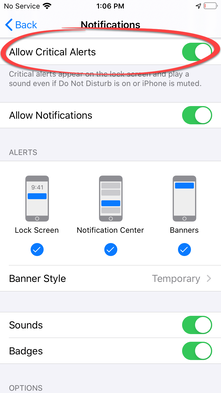
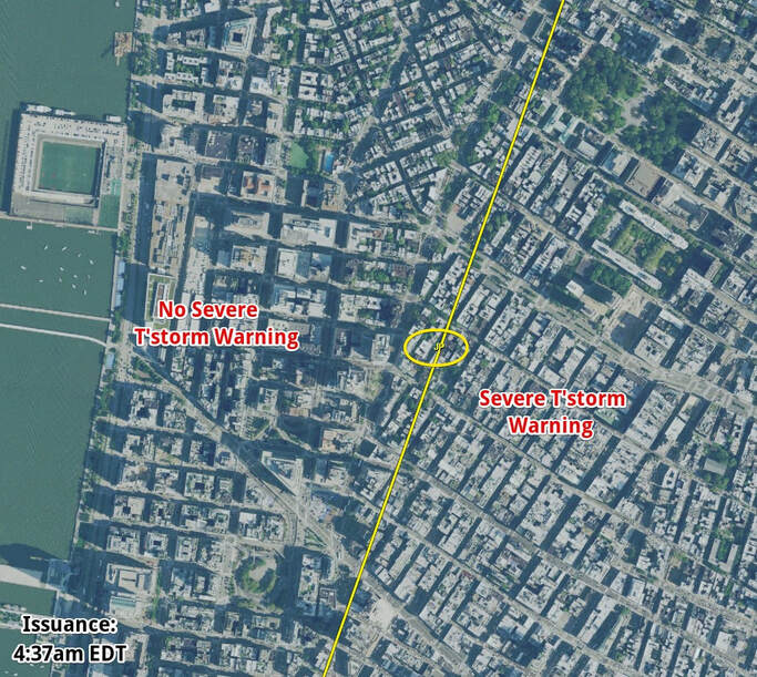
You are probably familiar with Wireless Emergency Alerts (WEA), the push notification-based alert you receive on your smartphone when a Tornado or Flash Flood Warning has been issued in your area. These alerts are defaulted on from the cell phone companies, but can be disabled in your phone's alert settings if you wish. They are triggered from cell towers to those within their broadcast area whenever the tower's coverage area (roughly) overlaps the weather-warned area. Thus, they are a little more precise than county-based alerts (like those from NOAA Weather Radio), but not quite as precise as a well-designed weather alert app that pinpoints your specific location.
Beginning August 2, 2021, the National Weather Service made a nationwide change to "tag" Severe Thunderstorm Warnings into one of three categories based on expected impact. The highest of these alert levels will also be sent to smartphones via the WEA system. All three categories will continue to be called "Severe Thunderstorm Warnings," but there will be additional information in the warning as to their degree of severity. The three categories are:
1. Base (or baseline) - These warnings follow the existing criteria for a severe thunderstorm: 1.00 inch (quarter-sized) hail and/or 58 mph thunderstorm winds are expected. These are the lowest level of severe thunderstorm and are a threat to those not properly sheltered and will not trigger a WEA.
2. Considerable - Warnings tagged as having the potential to cause considerable damage are expected to contain at least 1.75 inch diameter (golf ball-sized) hail and/or 70 mph thunderstorm winds. These also will not trigger a WEA, but pose a higher level threat.
3. Destructive - Storms that pose a threat of destructive damage will be tagged as such and will trigger WEA alerts. The threshold for a destructive storm is at least 2.75 inch diameter (baseball-sized) hail and/or 80 mph thunderstorm winds. These storms are estimated to comprise less than 10% of all severe thunderstorms. Extra precaution is warranted (similar to actions taken during a Tornado Warning) given the level of damage they can cause - similar to a low-end tornado, particularly to weak structures.
So while additional alerts will be generated to your smart device, the number will be small and they will be high-end storms capable of significant damage. For your location, perhaps you could expect to receive ONE of these warnings per year. And remember that they are in essence based on your neighborhood - based on a cell tower location - not your county. This move by the National Weather Service and Federal Communications Commission is a good one and will hopefully draw more public attention to, and therefore result in a better rate of taking action, for the most destructive storms.
However, you want even more precise alerts with more control over those alerts - those that ONLY alert when your specific location is expected to be impacted by the type of alerts you select! StormWatch+ Alerts is your solution! Subscribe in the StormWatch+ app and take control over which alerts you receive and for where (multiple locations anywhere in the U.S.).


